Restoration Through Partnerships
Southeast Longleaf Ecosystem Occurrences (LEO) Geodatabase
The LEO Goal
To develop a comprehensive, shareable map database of longleaf ecosystem occurrence across the range, with standard attributes that enables states and partners to view and analyze spatial data for longleaf pine occurrence and condition at multiple scales.
The LEO Process
Compile existing longleaf pine data. We gathered longleaf pine information from dozens of land management agencies, private partners, and public data sources. LEO aims to “fill in the gaps” of where we know longleaf to occur, so this step is crucial to allow us to avoid areas where reliable data is already available.
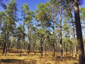
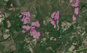
Develop areas for field assessment. The mapping team at Florida Natural Areas Inventory and The Longleaf Alliance identify and delineate areas on the landscape where longleaf likely occurs, based on aerial photo signatures along with informing datasets such as a longleaf probability model, species habitat models and occurrence locations, and burn permits.
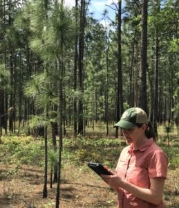
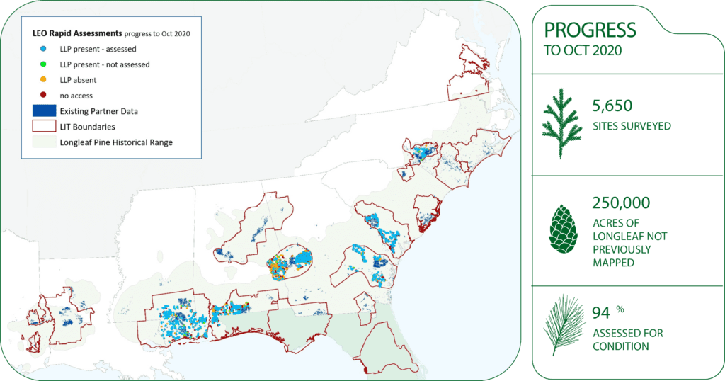
Collect Rapid Assessment field data. The rapid assessment provides ground truth data for the LEO mapping effort. Sites are surveyed for the occurrence of longleaf and assessed for ecological condition using a standardized, thorough, and repeatable format by which a field surveyor describes what he/she observes. Surveys are designed to be rapid and completed largely by roadside observations. Field work occurs with the help of partner agencies and contractors.
Quality checks and incorporation into the geodatabase. Field survey data undergo quality assurance checks at different stages including checks by field surveyors prior to syncing their data and by the LEO data management team prior to integration into the database. Integration involves cross-walking management condition assignments identified by ALRI of Maintain, Improve, or Restore.
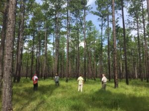
LEO Rapid Assessment Results
The LEO Geodatabase (GDB) v.1.2 and web map are available to ALRI partners through a data license agreement HERE.
LEO is implemented by Florida Natural Areas Inventory and The Longleaf Alliance. Funding is provided by the Natural Resources Conservation Service via the U.S. Endowment for Sustainable Forestry and Communities. We would like to thank all LIT partners and coordinators for their support.


